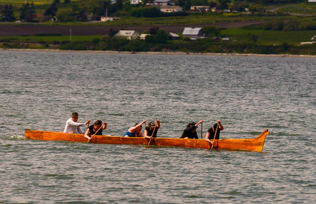
Estimated reading time: 5 minutes
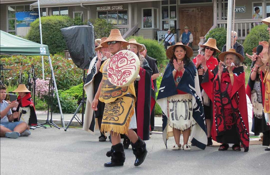
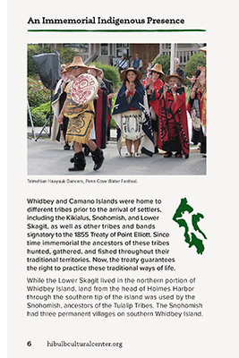
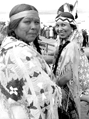
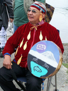
Tsimshian Haayuuk Dancers, Penn Cove Water Festival
Written by Ana Ramirez, Education Curator. Hibulb Cultural Center & Nature Preserve.
Whidbey and Camano Islands were home to different tribes prior to the arrival of settlers, including the Kikialus, Snohomish, and Lower Skagit, as well as other tribes and bands signatory to the 1855 Treaty of Point Elliott. Since time immemorial, the ancestors of these tribes have hunted, gathered, and fished throughout their traditional territories. Now, the treaty guarantees the right to practice these traditional ways of life.
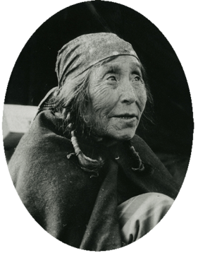
Susie Kettle (maiden name Slapoose, Lushootseed name Teloleta). Susie was Lower Skagit, and was born about 1861 and died 1938. Photo: Island County Historical Museum.
While the Lower Skagit lived in the northern portion of Whidbey Island, land from the head of Holmes Harbor through the southern tip of the island was by the Snohomish, ancestors of the Tulalip Tribes. The Snohomish had three permanent villages on Southern Whidbey Island. dəgʷasx̌, meaning “in the basket” or “lots of a certain species of crabs,” on Cultus Bay was the largest of the three village sites. The village was home to six or seven longhouses, two cemeteries, and a potlatch house that other tribes visited. č̓əč̓ɬqs, meaning “ripped nose,” in Sandy Point was located on what is today the city of Langley. This village also had a potlatch house, as well as clam beds. šəƛ̕šəƛ̕šɬ, meaning “scorched leaves,” was located on the west side of South Whidbey Island at Bush Point. šəƛ̕šəƛ̕šɬ had three longhouses, a potlatch house, and a cemetery. x̌ʷuyšəd was another village that was used for seasonal clamming following an earthquake and great slide in 1825.
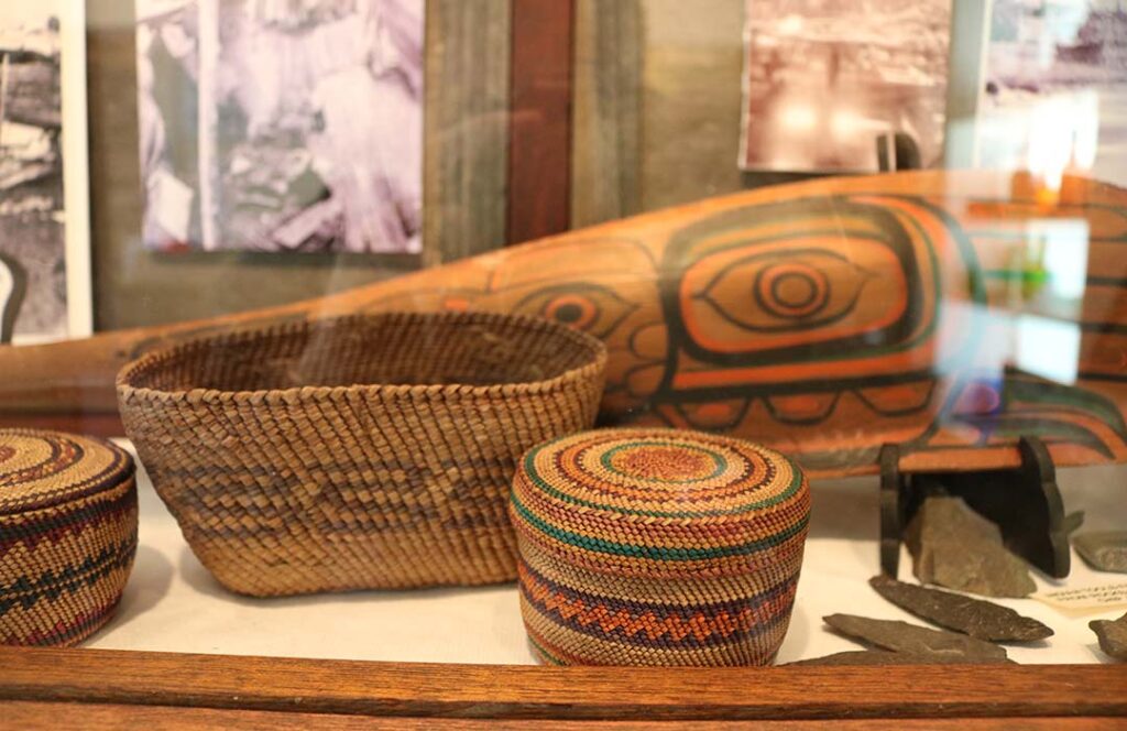
A display at the South Whidbey Historical Museum featuring works from various local tribes.
The Snohomish also shared Camano Island with the Kikialus and Lower Skagit, now part of the Swinomish Indian Tribal Community. The Kikialus lived on the northern part of the island, and the Snohomish lived seasonally on the southern part. Both tribes had seasonal camps on Camano Island. While we know that the camps were located on the east and west shores of Elger Bay, and on a gravel beach less than a mile northwest of the southern tip of Camano, the names of the camps are unknown. Seasonal camps were in Elger Bay on the south and around the east side of Camano Island. The west side of Elger Bay also had a sweathouse.
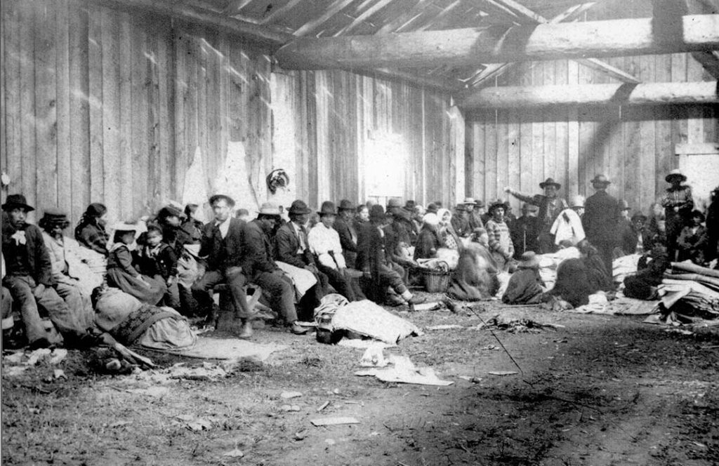
Chief Billy Barlow (William Squiqui)’s Potlatch at Monroe’s Landing prior to 1905.
Photo: Island County Historical Museum
Chinook, coho, pink, chum, and sockeye salmon were an abundant source of food. On the island’s prairies, bracken fern grew seven feet tall. Dried bracken roots were ground into flour that would be baked for bread. Fresh camas could be boiled and eaten like potatoes, or bulbs could be dried and preserved. Cultus Bay was a favorite gathering place for smoking salmon and digging clams.
The region’s tribes lived as one with the environment, and the people only took what was necessary to sustain themselves. This way of life is still practiced today. Tribal ancestors managed the landscape and ecosystems. The landscape has changed greatly since the arrival of settlers and currently faces many different challenges. The environment gives tribal members a sense of place that connects tribal members to their elders before them. Teachings and values guide the tribal peoples to work to protect the environment and honor the earth for future generations.
Please visit local museums, the Hibulb Cultural Center, and tribal websites to gain a deeper understanding of the role Indigenous peoples have played as caretakers of Whidbey and Camano islands throughout history and in current times.
