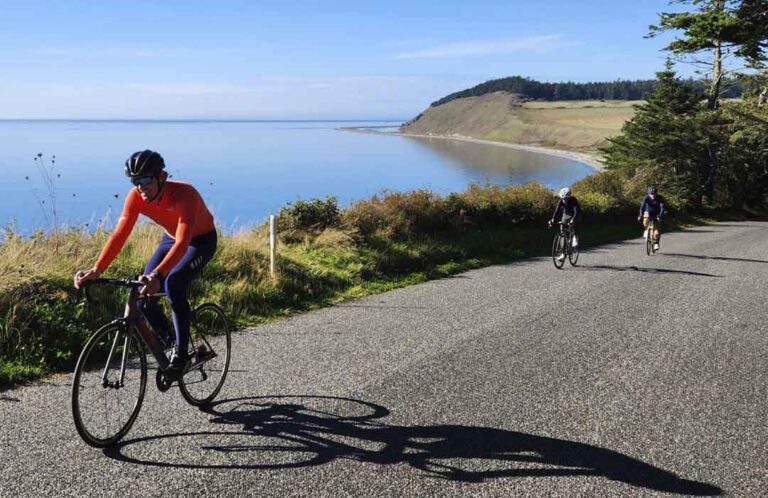
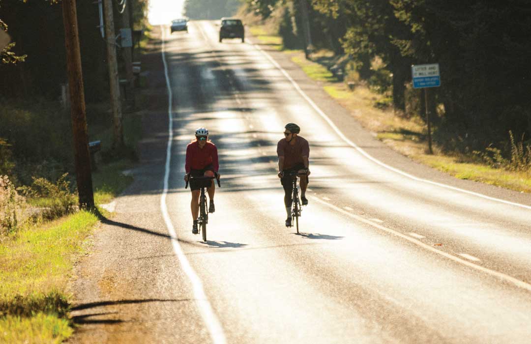
A bike ride along Brooks Hill Road is stunning in its simplicity. The road, lined by towering evergreens, slices through the trees. Wide shoulders offer comfort for cyclists pedaling from Langley to Lone Lake and beyond. Thoughts quickly center on Whidbey Island’s natural beauty. Anticipate a similar experience every time you escape the mainland for a getaway on Whidbey Island, an easy-to-reach biking refuge only 30 miles from downtown Seattle. Pack your essentials on your bike or your back, leave the car behind, and explore the island vehicle-free. Here are ways to make it happen.
Whidbey Island’s Road Map
Start planning your island cycling experience with “A Bicyclist’s Map of Island County,” produced by Island County Public Works. This detailed map displays recommended scenic bike routes and provides insights on other major and minor roads. The map also highlights neighborhood streets, multi-use paths, local hills, and U.S. Bicycle Route 97’s path from Coupeville north to Deception Pass State Park.
Maps are free and can be obtained at island visitor centers, libraries, bike shops, and stopping by Island County Public Works, 1 NE 6 th St. in Coupeville. The same bike routes are also available on RidewithGPS.com, the popular mobile navigation system. Visit the website, download the free app, and access the roads on a phone.
Catch the Bus
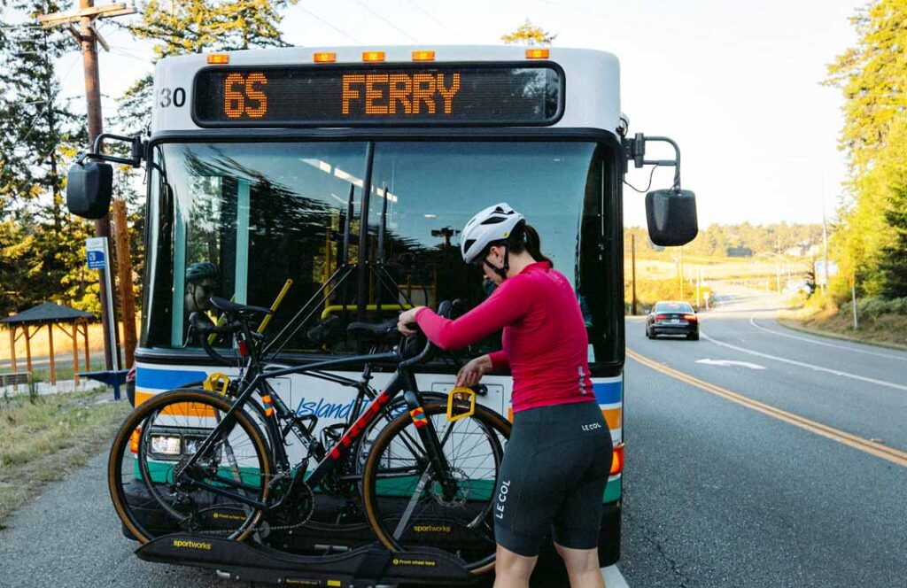
At 45 miles, Whidbey is one of the longest islands in the United States. Getting from one end to the other may be difficult along busy highways 20 and 525. Local cyclists avoid traffic by riding Island Transit, the free, local bus service. Island Transit buses are equipped with bike racks available on a first-come, first-serve basis. Place your bike in the rack, remove water bottles and other loose items that may fall off, and come on board. The transit system serves the Clinton and Coupeville ferry terminals and provides routes throughout the island. More information is available at islandtransit.org.
Leave the Car Behind
There are three ways to get to Whidbey Island. There’s a highway approach from the north across the Deception Pass Bridge and two ferries, one from Port Townsend and the other from Mukilteo. The Mukilteo crossing is convenient for cyclists in the metro Seattle area. The ferry leaves Mukilteo several times a day.
Walk the bike past waiting cars and trucks, purchase tickets at the tollbooth, and prepare to board. The Washington State Department of Transportation (WSDOT), which operates the ferry system, recommends arriving 20 minutes ahead of scheduled departure.
Now get comfortable and enjoy the 20-minute crossing. Visit the WSDOT website – wsdot.wa.gov – for complete information.
Go Amtrak
There are several ways to get to Mukilteo. One option is to drive and park a car near the ferry terminal. Another is to travel by rail.
The Amtrak Cascades train, which runs between Eugene, Oregon, and Vancouver, B.C., stops in Seattle and Everett. Disembark at either Amtrak station and roll the bike to the nearby Sounder “N Line” operated by the regional Sound Transit rail system. Take the N train to Mukilteo Station next to the Mukilteo-Clinton Ferry.
Learn more about the Amtrak Cascades at amtrak.com/cascades-train.
A Second Sound Option
Sound Transit recently expanded its Link light rail “1 Line” north to Lynnwood. Consider taking this train to Lynnwood City Center station before catching Community Transit’s Route 117 bus to Mukilteo Station.
Plan to get to the Sounder and Link trains early. There are limited bike spaces in each train car. Enter through doors displaying a bike symbol. Each Sounder train car includes ways to safely secure four bikes. Link train cars have hooks to vertically hang two bikes.
Sounder and Link train information is found at soundtransit.org. Community Transit schedules are located at communitytransit.org.